
The Blue Ridge Parkway: America's Most Scenic Drive, Explained
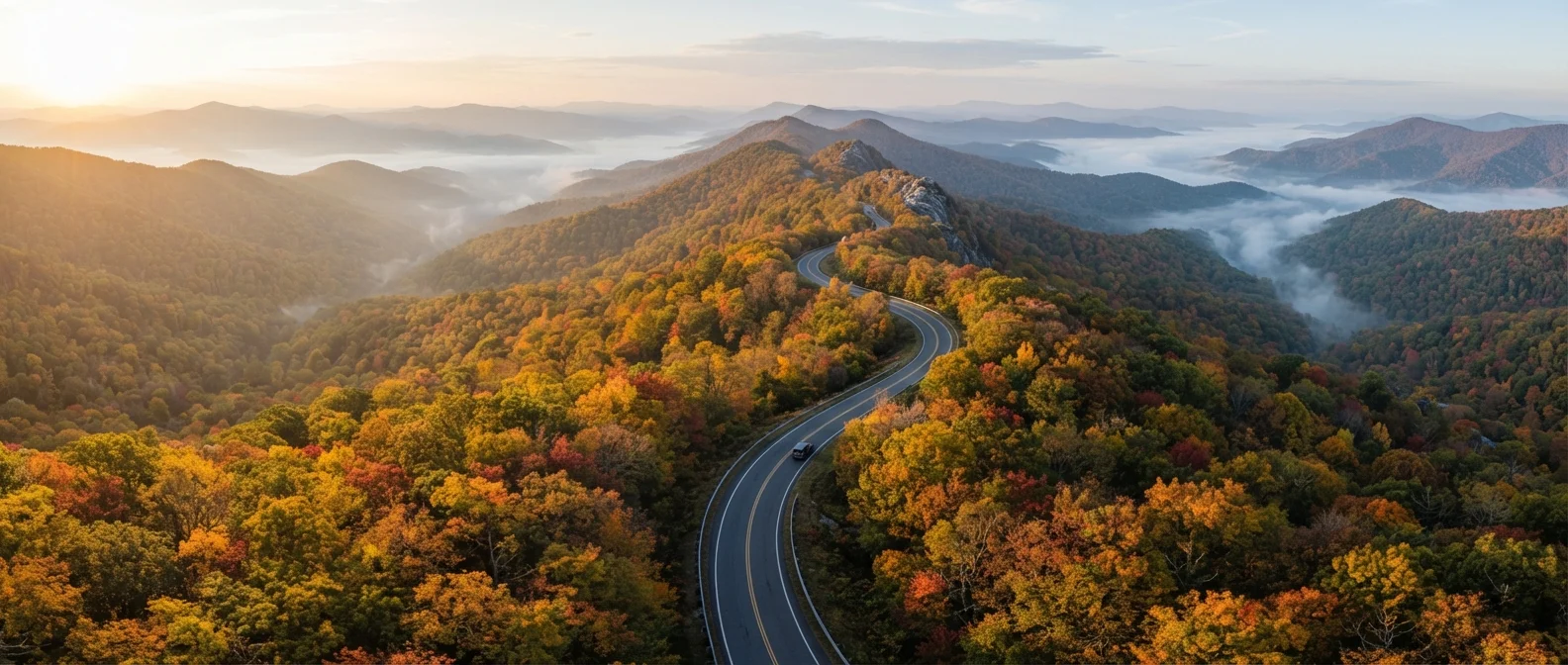
Photo credit: ProximityFinds.com | One-stop Reading Source
In this article
Learn what the Blue Ridge Parkway actually is, how it differs from a standard highway, and what makes driving it a distinct experience from other US routes.
Key Takeaways
- The Blue Ridge Parkway spans 469 miles across Virginia and North Carolina, entirely within National Park Service jurisdiction.
- It was designed for leisure driving, with no commercial vehicles, intersections, or advertising permitted.
- The Parkway connects two major national parks and passes through dozens of overlooks, trails, and visitor centers.
- No entry fee is charged to drive the Parkway itself, though amenities like campgrounds have separate fees.
- Fall foliage season (typically October) draws the heaviest visitation; spring wildflowers offer a quieter alternative.
- Weather and elevation can create hazardous driving conditions - always check road status before departure.
What Sets the Blue Ridge Parkway Apart from a Regular Highway
Most American roads exist to move people efficiently from one place to another. The Blue Ridge Parkway was built with the opposite intent: the journey is the destination. Conceived during the New Deal era and completed over several decades, it was engineered to follow the natural contours of the Appalachian ridgeline rather than cut through it efficiently. The result is a road that curves, climbs, and descends in a way that feels almost cinematic.
There are no commercial trucks, no billboards, no traffic signals, and no at-grade railroad crossings. Overpasses and underpasses were designed to minimize visual clutter, keeping sightlines as natural as possible. This level of design intentionality is why the Parkway feels fundamentally different from any interstate - it's a protected landscape corridor, not just a paved route.
For a broader look at what earns any road its legendary status, see our guide to what makes a road trip route truly iconic.
469 miles
Total length of the Blue Ridge Parkway
It runs from Afton, Virginia to Cherokee, North Carolina through the Appalachian Mountains.
6,047 ft
Highest point on the Parkway
Richland Balsam overlook in North Carolina is the highest elevation reached by the route.
15+ million
Annual visitors (approximate)
The Blue Ridge Parkway is consistently among the most visited units of the National Park Service.
The Route: What It Connects and Where It Goes
The Parkway runs from Afton, Virginia - at the southern end of Shenandoah National Park - down to Cherokee, North Carolina, where it meets the entrance to Great Smoky Mountains National Park. Along those 469 miles, it crosses the Virginia-North Carolina border roughly a third of the way through, passing through the highlands of both states.
Elevation varies dramatically, ranging from around 650 feet near the James River in Virginia to 6,047 feet at Richland Balsam overlook in North Carolina - the highest point on the entire Parkway. That elevation range means the landscape, vegetation, and driving character shift considerably as you travel south.
Key stops include the Peaks of Otter area in Virginia, the Linn Cove Viaduct (an engineering marvel hugging the side of Grandfather Mountain), and the Craggy Gardens area near Asheville, famous for its rhododendron blooms. The Parkway also features 26 tunnels, particularly concentrated in North Carolina.
For a broader reference on how this route fits alongside other major American drives, our US road trip route reference offers useful context.
How to Approach a Blue Ridge Parkway Trip
Because the Parkway has no gas stations for long stretches - particularly in North Carolina - fuel planning matters more than on a standard highway. Fill up whenever you exit to a nearby town, and keep an eye on your gauge. Cell service also drops out frequently along the route, so download offline maps before you depart.
Fuel and Connectivity Planning Tips
Gas stations do not exist along the Parkway itself. Fill up every time you exit near a town, and never let your tank drop below a quarter full. Similarly, download NPS maps and offline navigation before you depart - mobile data disappears for long stretches, particularly in the North Carolina highlands.
The Parkway's 45 mph speed limit isn't just a legal requirement - it's genuinely the right pace. Rushing it defeats the purpose. Budget at least one dedicated day per 100 miles if you want to take even a fraction of the overlooks and short trails seriously.
If the Appalachian ridgeline appeals to you but you're weighing it against coastal alternatives, our comparison of mountain routes versus coastal drives can help you decide what landscape fits your travel style. And if you're considering combining the Parkway with nearby national parks, planning a national parks road trip walks through a route-first approach for multi-park itineraries.
Road status - including closures from ice, fog, or maintenance - is updated by the National Park Service. Always check the official NPS website or call the Parkway information line before setting out, especially in shoulder seasons.
Frequently Asked Questions

Author
Travel Editorial Team
Travel Editorial Team is the collective byline for our editorial team and contributor network. Articles published under this byline or an editorial pen name are researched, written, and reviewed according to our editorial standards for clarity, consistency, and independence before publication.
View all articles →